About This Project
The Holliston Town Forest Committee is developing a wayfinding sign system for trail intersections in the forest area spanning Holliston, Milford, and Hopkinton, near the headwaters of the Charles River. We call it the Upper Charles Forest; riders have long known these trails as “Vietnam.”
This project is a collaboration with the Holliston Conservation Commission, The Trustees of Reservations, the New England Mountain Bike Association, the Hopkinton Trails Committee, and the Milford Conservation Commission.
The Upper Charles Forest is about 1,300 acres of woods at the headwaters of the Charles River, where Holliston, Hopkinton and Milford meet. Its 38 miles of trail wind past boulder-strewn uplands, vernal pools, wetlands and quiet streams, across land with many owners:
- Holliston: about 600 acres of town conservation land, including the Adams Street Town Forest, the 85 acres added to it in 2013 (protected by a conservation restriction held by The Trustees), the 210-acre David Reed Fairbanks conservation area (with a conservation restriction co-held by The Trustees and DCR), and Rocky Woods.
- Milford: about 175 acres of town land, with some 6 miles of trail.
- Hopkinton: College Rock Park, the network’s front door off Route 85.
- NEMBA: 49 acres owned by the New England Mountain Bike Association, with more than 5 miles of trail packed into them.
- Private landowners: about 400 acres of woodlots, farmland and the power line corridor, whose owners let the trails pass. Please stay on the trails, and respect posted land.
Share the Map

Point a phone’s camera at this code to open the map. It works in the phone’s browser, with nothing to install.
Zoning Philosophy
The full area is divided into 6 regions spanning across three towns. The regions are broken up by how they feel connected in the woods — they are loosely based on actual parcels in the area, but not a 1-to-1 matchup. The regions do not adhere to town boundaries either, so some regions span multiple towns. Every sign is in exactly one town and exactly one region.
Several non-town organizations have overlapping concerns in the area, including The Trustees of Reservations, New England Mountain Bike Association, and DCR. Signs that fall on an organization’s parcel will carry that organization’s logo or name, so each sign accurately reflects who manages the land it stands on.
As we reach out to private parcel owners whose land the trail network crosses, we will offer them the option to add a small image or logo to the corner of the signs on their parcels.
| Zone | Name | Towns |
|---|---|---|
| A | Adams Town Forest | Holliston |
| B | Beaver Brook Woods | Milford, Holliston |
| C | College Rock Park | Hopkinton, Holliston, Milford |
| D | Rocky Woods | Holliston, Milford |
| E | NEMBA Land | Milford, Holliston |
| F | Fairbanks | Holliston, Milford |
Sign Design
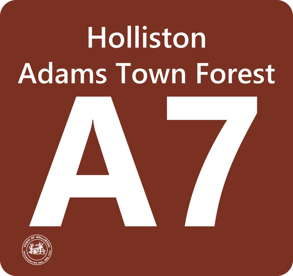
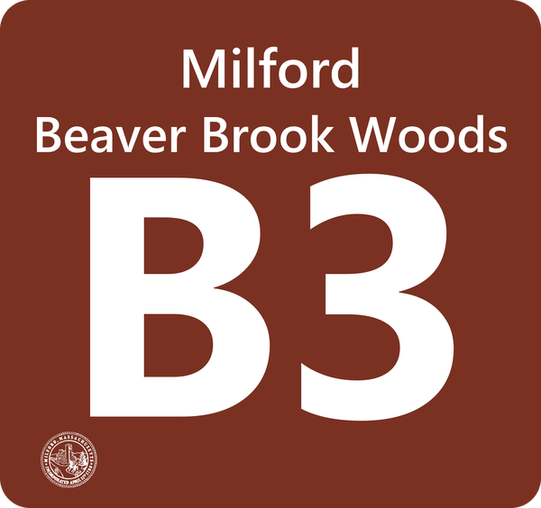
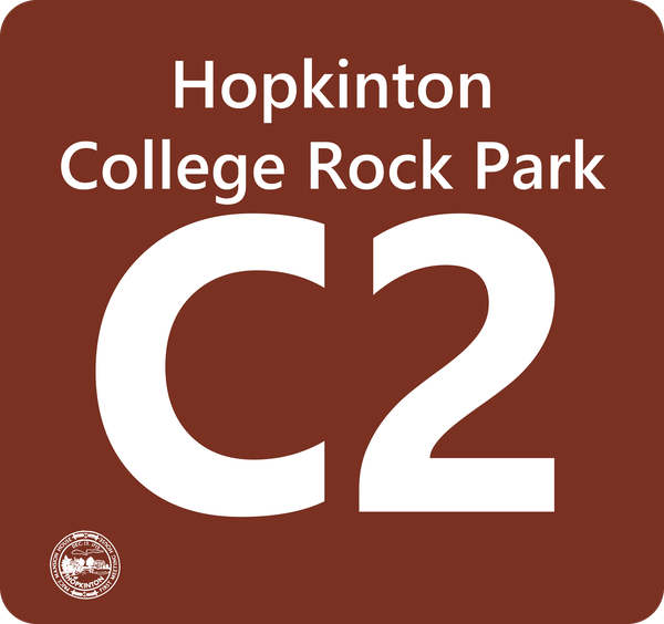
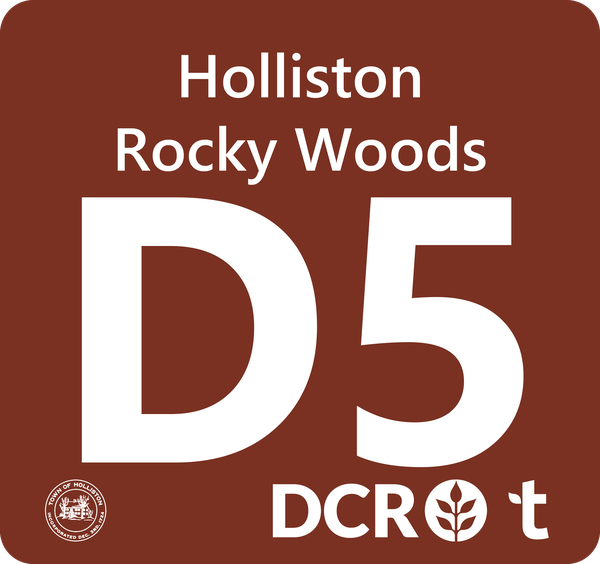
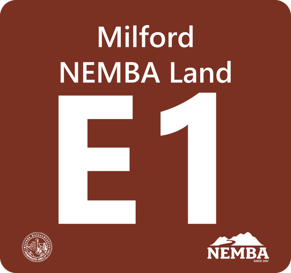
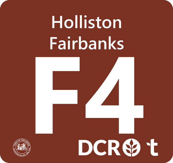
Each intersection will have a sign with the following elements:
- A letter-number combination that uniquely identifies the intersection (e.g. A1, C14). The letter corresponds to the zone; lower numbers are generally closer to parking areas.
- The name of the town the intersection is in
- The name of the zone
- The town seal
- The logos of the organizations that hold a conservation restriction on the land the sign stands on, if any
A proven idea. The DCR’s Blue Hills Reservation, south of Boston, uses a similar approach across its 125 miles of trail: six sections, a four-digit number at each marked intersection, and a first digit that tells you which section you’re in (Friends of the Blue Hills explain it here). We arrived at our design on our own, with one difference: Blue Hills numbers rise as you head north or east, while ours fall as you head toward a way out. Because their signs are already up, we’ve also built our map for the Blue Hills, a preview of how this map will work once our signs are in place.
Sample signs:
Temporary Signs
Before the real signs go up, we’ve put up temporary ones at intersections around the Adams Street Town Forest, to try the idea out on the trail. They’re numbered from an earlier version of the plan. We’ve renumbered the zone since, as the plan took shape, so most of them read differently from the map: the sign reading A1, for instance, stands at the intersection the map calls A2. Three stand at junctions the plan no longer gives a sign. The real signs, when they go up, will match the map.
The map shows them, so you can find your way by either number:
- Close in, a small white tag beside an intersection’s dot shows what its temporary sign reads, like this: A1
- Tap the intersection, and its details say “Sign now: A1”.
- Out on the trail, the map says where you are by both: “You are at A2 (its temporary sign reads A1)”.
Each temporary sign, and the map’s number for where it stands:
Entry Kiosks
Kiosks at major entry points will have a full map of the area, a description of the signage system, and descriptions and logos for all towns and organizations represented. Entry points include:
- College Rock Park
- Adams Street Parking Lot
- Dunster Road Trailhead
- The "Milford Byway" connection to the Milford Rail Trail
- The "Chicken Run" connection to the Milford Rail Trail side path
Land Ownership
The Holliston land in the network is town-owned conservation land. Parts of it are also under conservation restrictions (CRs), which keep it protected permanently and are enforced by their holders:
- Adams Street Town Forest Additions — 85.6 acres added to the Town Forest in 2013, with a CR held by The Trustees of Reservations. The original Town Forest isn’t under a CR.
- Fairbanks — the 210-acre David Reed Fairbanks conservation area, with a CR co-held by The Trustees and DCR
See the Owner Report for the full breakdown of all public and private parcels the trail network crosses.
Contact
This project is led by the Holliston Town Forest Committee. If you have questions or comments, please email townforest@holliston.k12.ma.us.
Data Sources
OpenStreetMap (trails), MassGIS (parcels), Holliston assessor records via Tyler/iasWorld (deed research).